

ASV 4
READY FOR ANY MISSION
ASV 4
Main futures
ANDROID & WINDOWS
Android software for hydrological and bathymetric surveys.
LONG RANGE CONTROL
Up to 10km 4K Video & Data Transmission
WIRELESS SPEAKER & MIC
Visual and Audio Communication for Law Enforcement
AUTOMATIC OBSTACLE AVOIDANCE
Safe navigation by detecting and avoiding obstacles in real-time
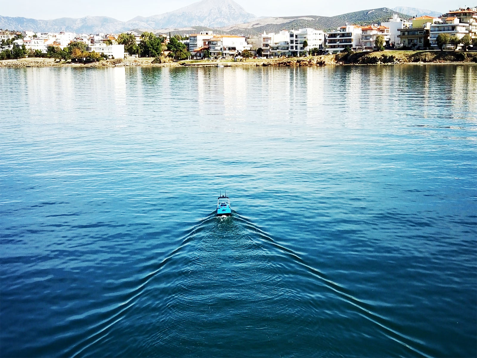
ASV 4Small & Distinctive
ASV 4 designed for maritime surveillance and monitoring. Equipped with high-resolution cameras, advanced sensors, and real-time data transmission, it provides continuous observation of coastal zones, ports, and offshore areas.
Continuous Survey Operations
ASV 4 provides a high level of autonomy, reaching up to 10 hours of continuous operation!
4K VIDEO TRANSMISSION
4K Video Transmission ensures high-resolution, real-time monitoring for superior situational awareness
ASV 4Sensor-Ready for Advanced Monitoring
With autonomous navigation and long-range communication capabilities, ASV 4 ensures effective coverage of large maritime areas while reducing operational costs and minimizing human risk. Whether for coast guard operations, border security, or environmental monitoring, ASV 4 delivers unmatched reliability and performance in maritime surveillance
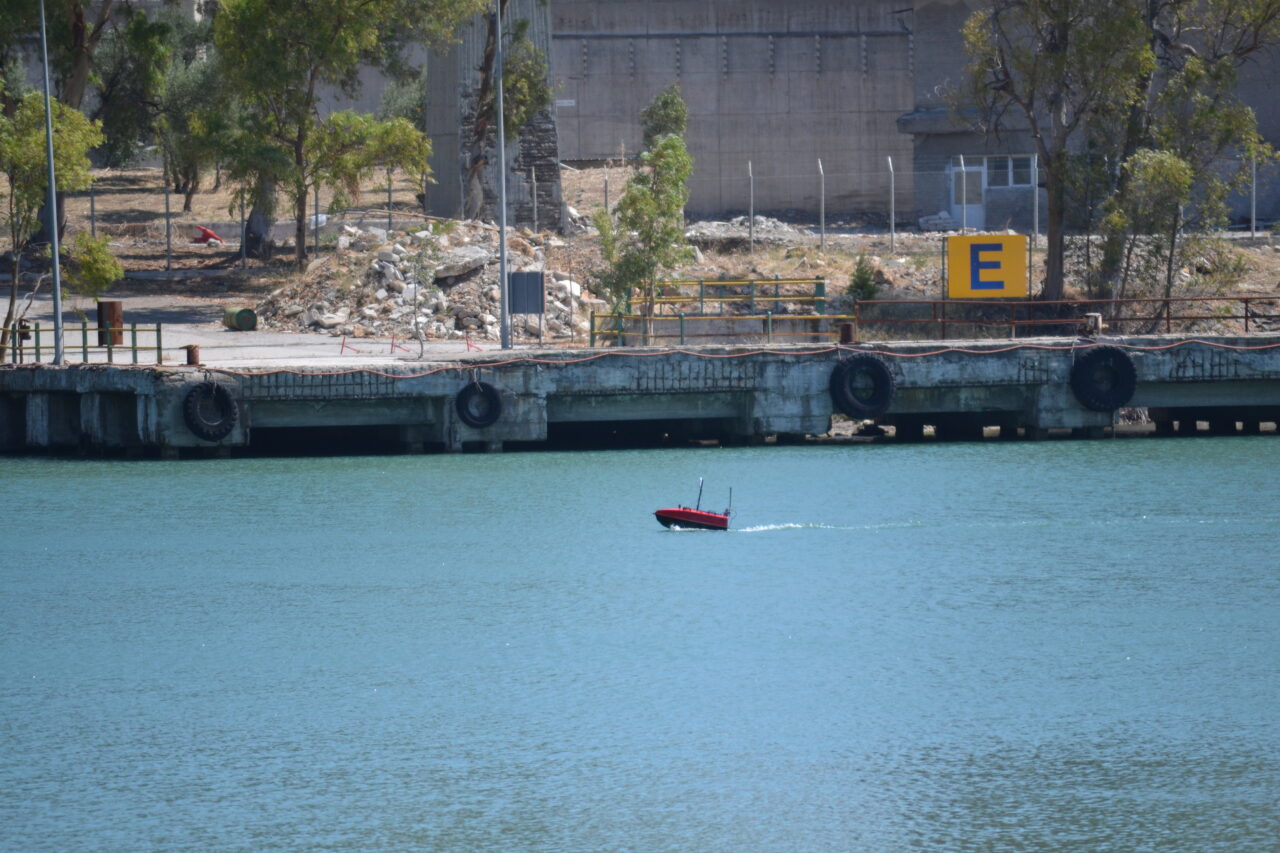
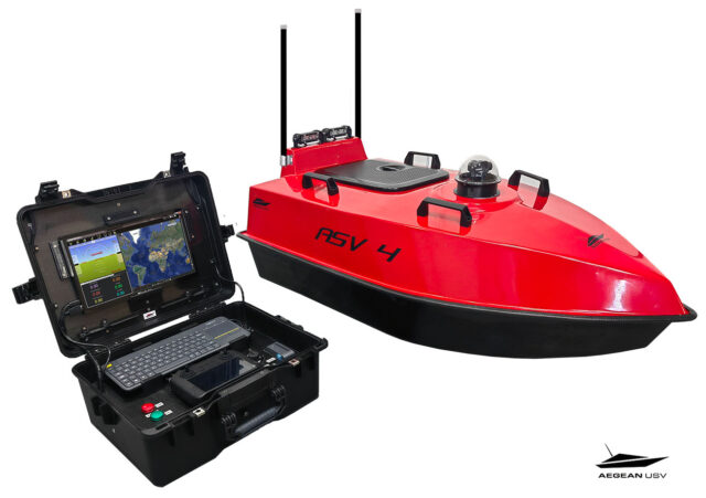
ASV 4Real-Time Mission Planning & Telemetry Monitoring
The mission planning application runs on a base station laptop connected via a radio telemetry link, displaying the graphical position and progress of the vehicle over a map of the survey area. Battery voltage, current, and remaining capacity are monitored through this connection, utilizing GPS position and heading data available in real-time onshore via RF telemetry.
ASV 44K Video Transmission for High-Resolution Real-Time Monitoring.
4K Video Transmission ensures high-resolution, real-time monitoring for superior situational awareness. With seamless data streaming, it provides crystal-clear imagery for surveillance, inspection, and remote operations, enabling precise decision-making even in the most demanding maritime environments. Additionally, it features an audio alert system, allowing for real-time voice communication and warnings to enhance security and operational efficiency
AEGEAN USV's Applications
MAPPING - SURVEYING
Underwater mapping is a crucial tool for studying and managing marine areas, providing accurate and reliable information on hydrography, coastal morphology, and seabed structures.
ENVIRONMENTAL MONITORING
AEGEAN USVs are equipped to collect data on water temperature, marine environmental quality, pollutant presence, and biodiversity conditions.
AQUACULTURE
AEGEAN USVs provide advanced solutions for automated surveillance and analysis of aquaculture facilities, helping to reduce operational costs and improve efficiency.
SEARCH & RESCUE
In search and rescue operations, AEGEAN USVs provide exceptional tools for a rapid and effective response to maritime emergencies. Our vessels are designed to reach remote and hard-to-access locations, even in extreme sea conditions.
ASV4 Specifications
- Typical Survey Speed……………………………………………….3 kts (1.5 m/s)
- Top Speed ………………………………………………………………….. 7 kts (5 m/s)
- Hull Length ……………………………………………………………….. 105cm
- Hull width……………..…………………………………………………….. 80 cm
- Battery Endurance at Survey Speed …………………..10 hrs
- Battery Endurance at Full Speed…………………………. 5 hrs / 27km
- Payload ……………………………………………………………………….. 34 kg
- Motor Power……..…………………………………………………………2 X 12kg of thrust
- Motor …………………………………………………………………………… Outboard Brushless Thruster
- Hull Material ……………………………………………………………… UV resistant Fiberglass
- Steering ………………………………………………………………………. Differential
- Battery …………………………………….…………………………………….6s Li-Ion
- Data Telemetry Frequency …………………………………..2.4 GHz/ 5.8 GHz
- Remote Antenna ………………………………………………………Omnidirectional
- Remote Range …………………………………………………………. 2,5 km (+10km optional – Unlimited on 5G)
- GPS Auto Pilot Unit………………………………………………….. Including
- Video communication……………………………………………. Long range FPV
- Camera…………………………………………………………………………….4K 360° video
- Satellite system…………………………………………………………….GPS, BDS, GLONASS, Galieo
- Automatic avoid obstacles system ………………….. Optional
Depth Sounder Transducer
- Type……………………………………………………………………………………Single beam, 200 kHz
- Range……………………………………………………………………………… 0.15 to 200 m
- Resolution…………………………………………………………………….. ±0.01 m + 0.1% x D (RTK)

Innovation on the water, safety in the mission!