

AEROSEA 4
Main Features
ANDROID & WINDOWS
Android software for hydrological and bathymetric surveys.
LONG RANGE CONTROL
Up to 10km 4K Video & Data Transmission
High-Wave Navigation
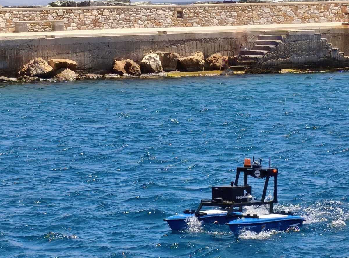
Designed for reliable control and stability in heavy seas.
AUTOMATIC OBSTACLE AVOIDANCE
Safe navigation by detecting and avoiding obstacles in real-time
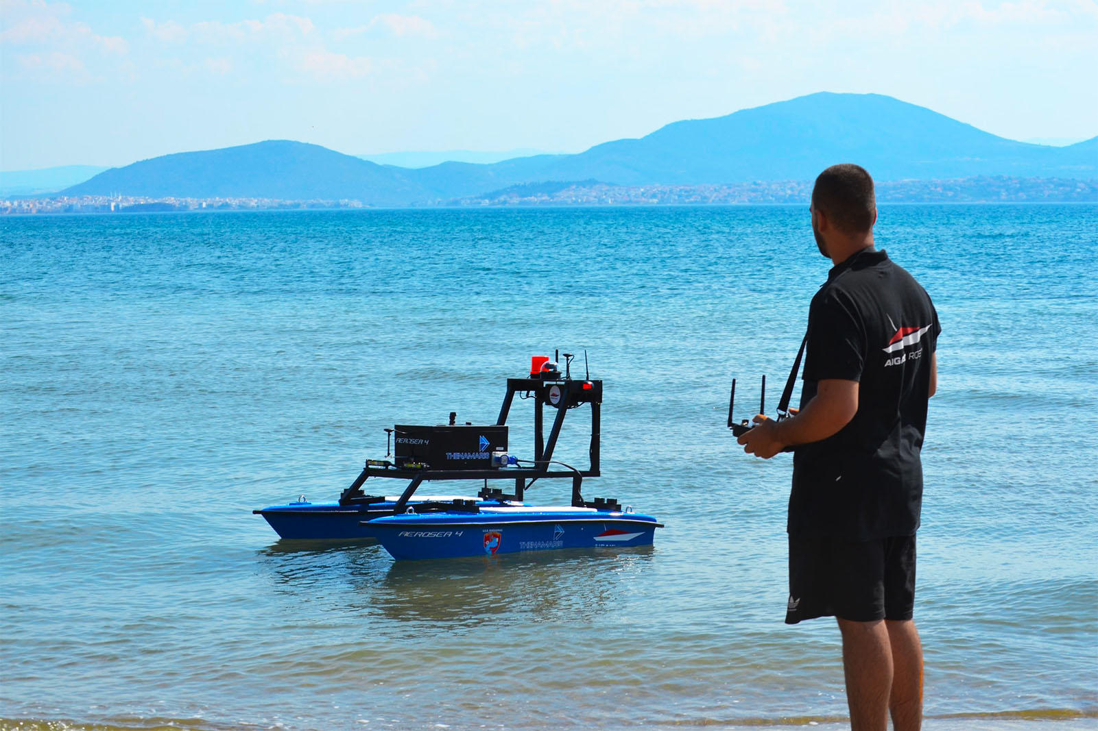
AEROSEA 4Built for Stability
Aerosea 4 is designed for demanding maritime missions in severe weather. Engineered to handle challenging waves and rough conditions with ease, it provides reliable navigation and continuous operation when conventional vessels must stay ashore.
Heavy-Sea Seaworthiness
Aerosea 4 is built to maintain exceptional stability in rough, high-wave waters, ensuring safe and unhindered navigation.
MULTI-SENSOR PAYLOAD
Versatile payload architecture supporting advanced multi-sensor integration for comprehensive data collection and superior situational awareness.
Aerosea 4Unmatched Seaworthiness & Multi-Sensor Power
With exceptional heavy-sea seaworthiness and advanced multi-sensor integration capabilities, Aerosea 4 ensures effective coverage of large maritime areas in severe weather while reducing operational costs and minimizing human risk. Whether for rough-water coast guard operations, border security, or demanding environmental monitoring, Aerosea 4 delivers unmatched reliability and performance in challenging marine environments.
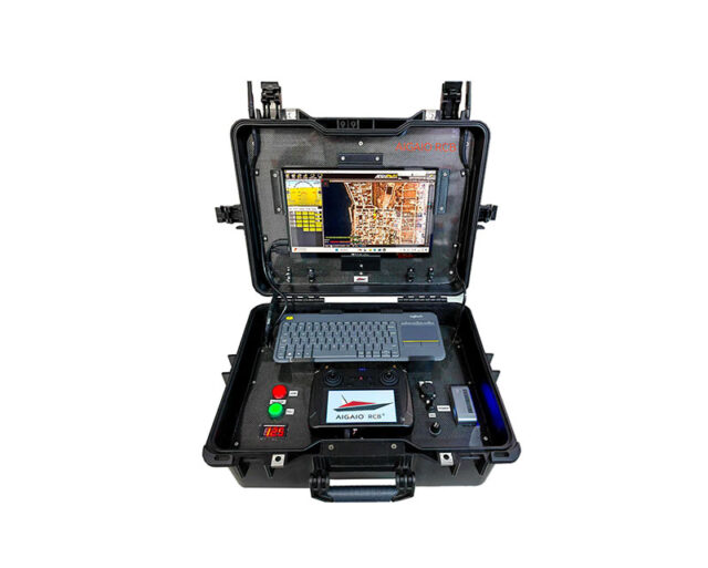
Aerosea 4Real-Time Mission Planning & Telemetry Monitoring
A remote telemetry link connects the survey vehicle to a ground laptop running the mission planner, displaying real-time mapping and navigational progress. Live onshore monitoring tracks vital power metrics—voltage, current, and capacity—integrated with real-time GPS and heading updates.
Aerosea 4Your Vision, Engineered Into Reality
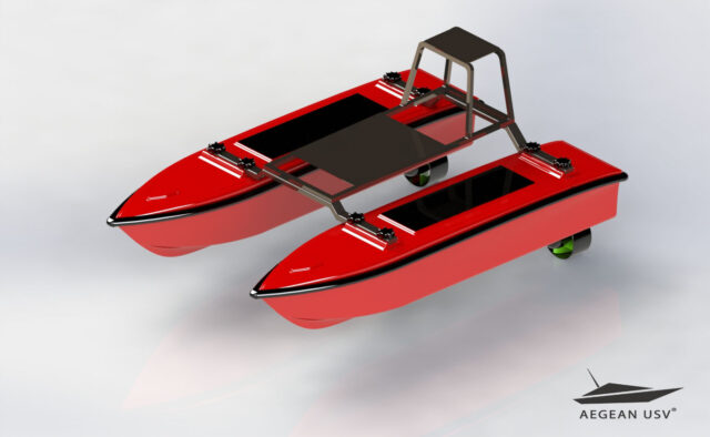
Beyond our standard lineup, we specialize in the custom design and manufacturing of specialized Unmanned Surface Vehicles tailored precisely to your operational requirements. Whether you need custom dimensions, specific payload integrations, or specialized propulsion systems, we engineer and build the exact solution your mission demands.
AEGEAN USV's Applications
MAPPING - SURVEYING
Underwater mapping is a crucial tool for studying and managing marine areas, providing accurate and reliable information on hydrography, coastal morphology, and seabed structures.
ENVIRONMENTAL MONITORING
AEGEAN USVs are equipped to collect data on water temperature, marine environmental quality, pollutant presence, and biodiversity conditions.
AQUACULTURE
AEGEAN USVs provide advanced solutions for automated surveillance and analysis of aquaculture facilities, helping to reduce operational costs and improve efficiency.
SEARCH & RESCUE
In search and rescue operations, AEGEAN USVs provide exceptional tools for a rapid and effective response to maritime emergencies. Our vessels are designed to reach remote and hard-to-access locations, even in extreme sea conditions.
AEROSEA 4 Specifications
- Hull type…………………………………………………………………………Catamaran
- Typical Survey Speed……………………………………………….3 kts (1.5 m/s)
- Top Speed ………………………………………………………………….. 7 kts (5 m/s)
- Hull Length ……………………………………………………………….. 140cm
- Hull width (total)……………..……………………………………….. 125 cm
- Battery Endurance at Survey Speed …………………..12 hrs
- Battery Endurance at Full Speed…………………………. 5 hrs / 27km
- Payload ……………………………………………………………………….. 55 kg
- Motor Power……..…………………………………………………………2 X 12kg of thrust
- Motor …………………………………………………………………………… Outboard Brushless Thruster
- Hull Material ……………………………………………………………… UV resistant Fiberglass
- Steering ………………………………………………………………………. Differential
- Battery …………………………………….…………………………………….6s Li-Ion
- Data Telemetry Frequency …………………………………..2.4 GHz/ 5.8 GHz
- Remote Antenna ………………………………………………………Omnidirectional
- Remote Range …………………………………………………………. 2,5 km (+10km optional – Unlimited on 5G)
- GPS Auto Pilot Unit………………………………………………….. Including
- Video communication……………………………………………. Long range FPV
- Camera…………………………………………………………………………….4K 360° video
- Satellite system…………………………………………………………….GPS, BDS, GLONASS, Galieo
- Automatic avoid obstacles system ………………….. Optional
Depth Sounder Transducer
- Type……………………………………………………………………………………Single beam, 200 kHz
- Range……………………………………………………………………………… 0.15 to 200 m
- Resolution…………………………………………………………………….. ±0.01 m + 0.1% x D (RTK)

Innovation on the water, safety in the mission!